About the product
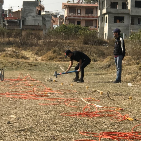
The Company provides the following services critical for various engineering projects using Seismic Refraction Survey Method:
Mapping bedrock profile, and thickness of overburden
Identification of fractures, and weak zones
Studies of slope stability, and pipeline route
Topography of ground water, and geological units
Estimation of soil elasticity moduli (such as Poisson’s Ratio, Young’s Modulus, Bulk Modulus, Shear Modulus), shear wave velocity model, bearing capacity, liquefaction potential of engineering ground using multichannel analysis of surface wave and rippability assessment in mines.
Services includes following methods:
Seismic Refraction (2D-SRT)
Multichannel Analysis of Surface Wave (2D-MASW) and Microtremor Array Measurement (1D-MAM)
ELECTRICAL RESISTIVITY METHOD
ERT1
The Company follows ASTM International Standard Designation D6431-10 Guide in acquisition, processing and interpretation of Electrical Resistivity Survey data.
The Company provides the following services using electrical resistivity imaging
Estimating depth to bedrock, depth to water table, and depth to geo-electric boundaries
Mapping and detecting geological features, such as, cavities and water channels
Delineation of aggregate deposits for quarry operations
Measuring earth resistance for electrical grounding circuits
Services Include Following Geophysical Methods
2D and 3D Electrical Resistivity Tomography (ERT) Survey.
Vertical Electrical Sounding (VES) Survey.
Induced Polarization (IP) and Self Potential (SP) Survey.
Contact with supplier
Company